


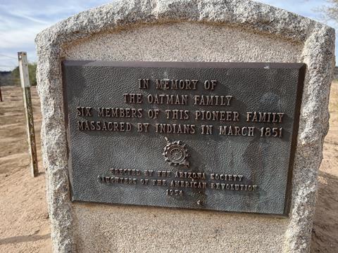
Attacked in 1851, most of the Oatman Family was killed, a story that continues to intrigue.
When we think of the old west, we conjure images of Cowboys, Cattle drives, pioneers, settlers, and the Native Americans who drew the short straw in the advancement of Western Culture. Many of the trails we run today were Indian trade routes moving goods from water source to water source. Early explorers enlisted the help of local tribes to pioneer these routes for the future of mass expansion.
The Area
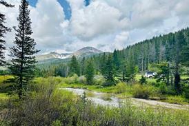
The Gila River served many groups from native Americans to pioneers alike as a source of water and food as people migrated west. One place evidence of both groups is still prominently etched into the volcanic earth is the Oatman Massacre Site.
The Oatman Story
You may have heard of Olive Oatman. She appears throughout Hollywood’s movies and tv shows as the girl who survived an Indian attack and lived among the tribes for years. The Oatman family set off from Illinois on a journey westward. They Joined the Brewsterites, where they would wagon train west. As the groups slowly split off, the Oatmans’ found themselves leaving the Maricopa well as a single wagon. Their next stop would be their last. As the story goes, the Oatman family reached the top of a steep rocky climb overlooking the Gila River. The family was approached by a local Tribe of Native Americans in search of food. Royce Oatman gave the local tribe all he could spare but the tribe was not satisfied and took to violence. Many accounts say the family was clubbed. 3 died where they fell, Lorenzo Oatman (age 15) survived his injuries as he was mistaken for dead. The tribe captured Olive Oatman (age 14) and Mary Ann Oatman (age 7).
Do Your Homework
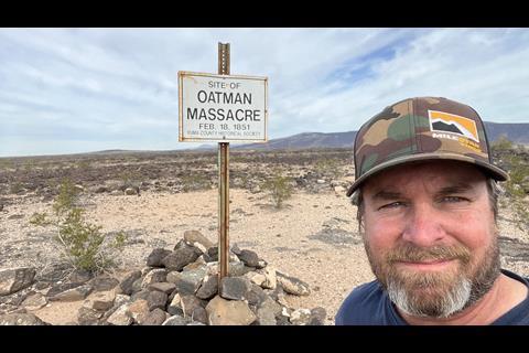
The tattered history of the Oatman massacre leaves the details mixed. At the massacre site, (Feb 18, 1851) you will find the date posted doesn’t match the date of the graves by the Gila River. (March 1851) so we encourage you to dig in before you head out to the site. There are plenty of wonderful books and articles written by historical societies on the topic.
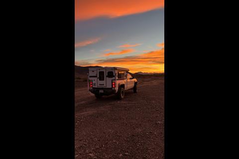
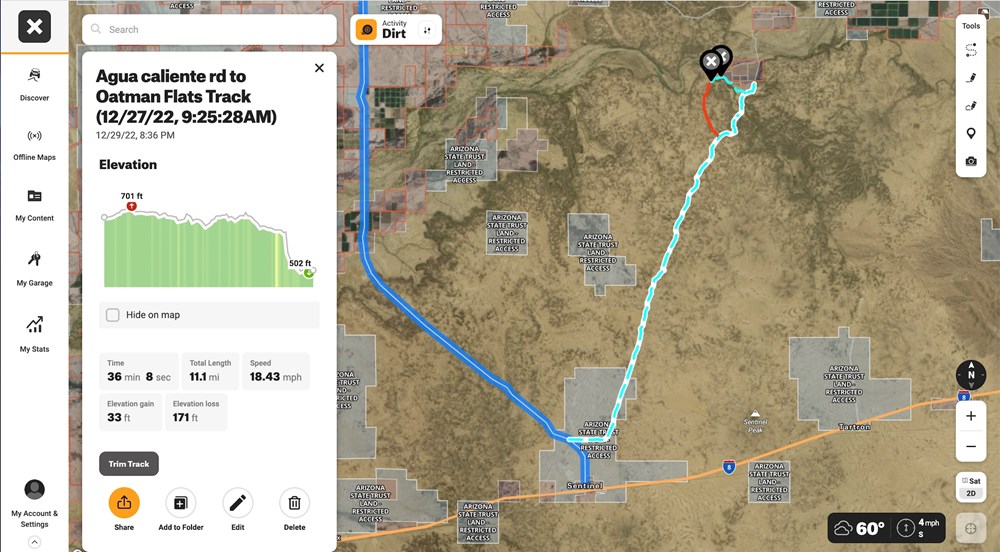
Getting To the Site
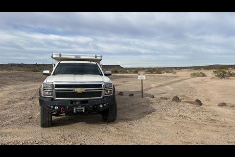
| 1. exit the 8 freeway in the town of Sentinel. |
| 2. At South Agua Caliente Rd. Head north a short stint to a dirt road on the right named “South Oatman Road”. |
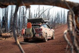
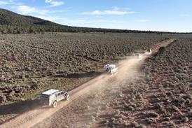
| 3. This will take you 8.8 miles along a smooth graded road with vast views of volcanic rocks littered among pipe cacti. |
| 4. At a very faint road crossing go left. This will lead you out onto the Mesa where the Oatman family met their demise. |
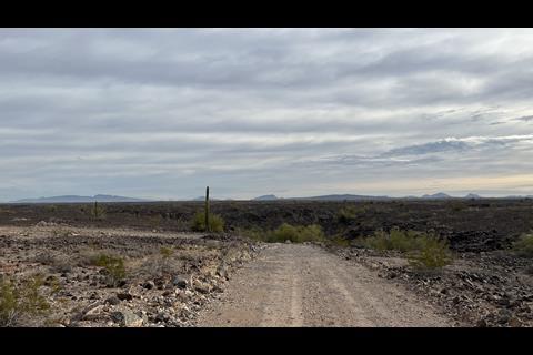
| 5. The last mile or so is the hardest part of the trail. You will be following wagon tracks of the Butterfield stage and the south immigrant trail. |
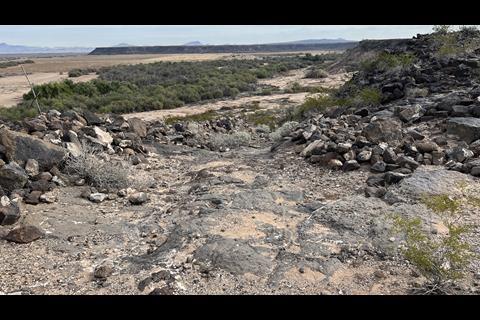
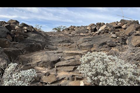
| 6. Look for large Cairns on both sides of the trail the wagon drivers would use as navigation to the edge of the bluff so they could reach the river below. |
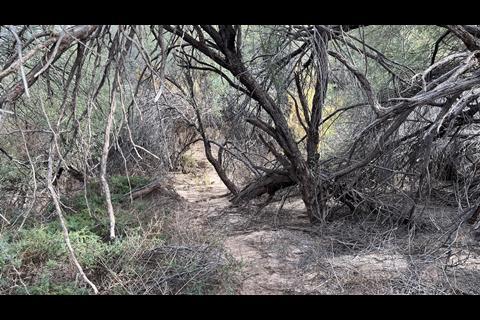
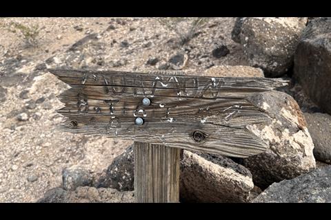
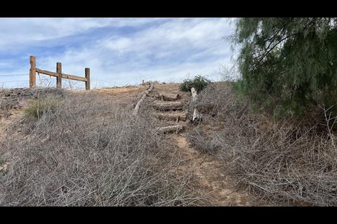
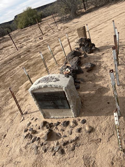
Once at the site, you will notice the landscape is relentless. Large volcanic rocks scattered. The very same rocks 15yo Lorenzo Oatman would use to bury his family in place as the ground was too hard to dig. Look for a wooden sign. The Mormon battalion also used this route in their search for divine property. Now as you walk down the stage route, you will notice the forged steel rings of the wagon wheels cut grooves in the rocky trail from so many wagons dragged up over the bluff. If you want to work your way down to the official grave of the Oatman family, you will need to make your way through the Tamarisk grove on the riverbanks. Someone erected steps along the fence line to help climb up over the bank. Once you are on the north side of the grove, head right along a farm field about 100 yards. Under the trees, you will find a marked grave. It’s understood that the Oatmans remains were moved multiple times until possibly resided in this spot.
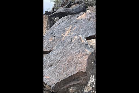
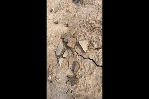
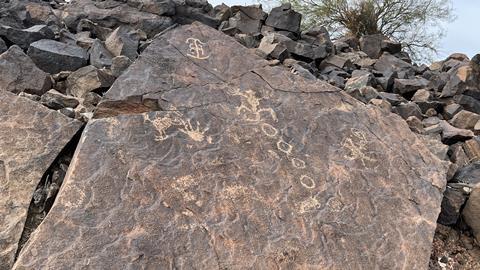
Petroglyphs & Early Markings
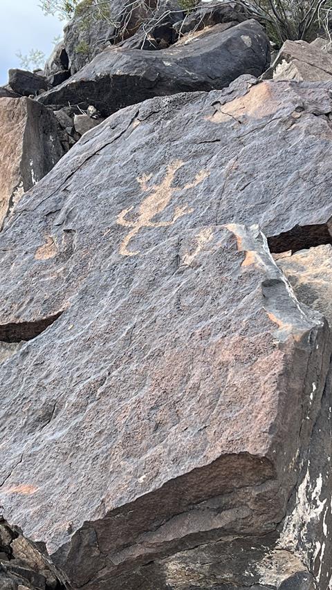
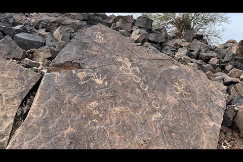
As you return towards the bluff, look high on the rocks above the trail and you will see petroglyphs along with other travelers’ names, dates, and Brands. It’s important that we remember these burial sites are sacred. Carefully and nimbly move from site to site looking for clues to historical events. Equally important to remember that taking anything from the site is considered looting and all Antiquities are protected under the antiquities act of 1906.
If you choose to drive down to the lower level, South Oatman Road continues down to the edge of private property. (Be respectful of locked gates and no trespassing signs. Once down on the flats, you can imagine the life of a pioneer. Multiple fire rings are laid out against the bluffs to the east of the private property. The areas below the bluffs west of Oatman Rd are considered foot travel only. From the blockade is a .7-mile walk along the tamarisk to the Oatman Grave site. Remember to stay on public land and respect posted no trespassing signs. That’s how we keep public lands accessible.
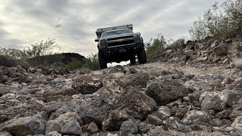
Trail Rating
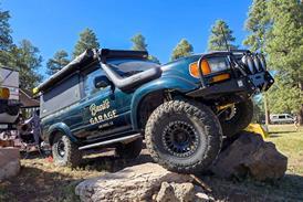
For the most part, the trail leading to the massacre site can be navigated by a CUV. The last mile leading out onto the bluffs will take particular care to avoid the cannonball size rocks half buried in the road. If you choose to continue toward the lower level. The roads quickly become difficult. Larger loose rocks and ditch crossings quickly upgrade the trail rating from CUV to SUV for more ground clearance. A clever driver of either of those platforms would successfully navigate the 1 mile of tough terrain.
Sources:
American Pioneer Cemetery Research Project


No comments yet